










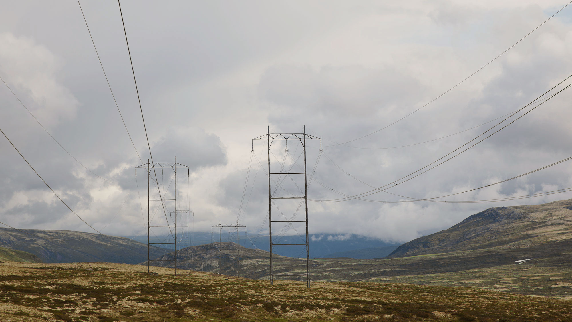





What do you do when the municipality requires a landslide hazard assessment?

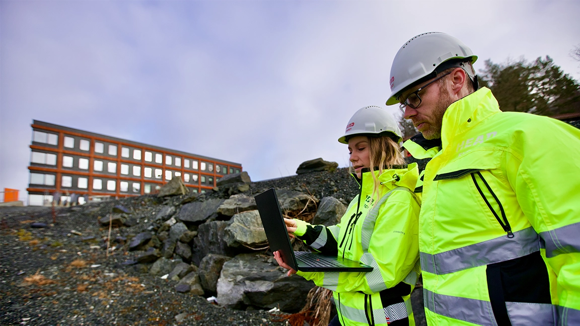
Has the municipality asked for a landslide hazard assessment before your building application can be processed further? It may sound serious, but it does not necessarily mean the site is exposed to landslides or that you cannot build.
The requirement means that the municipality needs documentation that the site meets the safety requirements against landslides under the Planning and Building Act and the building regulations (TEK17). If the property is located within a caution area for landslides, a professional landslide hazard assessment may be needed to clarify the actual hazard.
Here we explain why the municipality may require a landslide hazard assessment, what a caution area really means, how the assessment is carried out, and what happens if a landslide hazard is actually identified.
Why does the municipality require a landslide hazard assessment?
The municipality is responsible for ensuring that new projects meet the requirements of the Planning and Building Act and the building regulations (TEK17). Before a construction project can be approved, it must be documented that the site has sufficient safety against natural hazards.
If a property is located within a caution area for landslides, the municipality will often ask for a landslide hazard assessment. The purpose is to clarify whether the project meets the safety requirements in TEK17.
The requirement is therefore part of the processing of the building application, not necessarily a sign that there is actually a landslide hazard on the site.
What does it mean that the site is in a caution area for landslides?
The Norwegian Water Resources and Energy Directorate (NVE) has prepared national caution maps for rockfall, rock slides, snow avalanches and debris slides, among others.
The maps are based on terrain analyses and show areas where there may be a risk of landslides. They are used as a tool in land-use planning and the processing of building applications, among other things.
It is important to distinguish between potential and documented landslide hazard. A property being within a caution area does not mean that a landslide hazard has been documented on the site. The maps show areas where closer professional assessments may be needed before a project can be approved.
A landslide hazard assessment can clarify the actual landslide hazard and whether the site meets the safety requirements for the planned project.
Landslides in steep terrain and quick clay landslides are not the same
It is easy to confuse landslides in steep terrain with area slides, but these are different natural hazards that require different professional assessments.
Landslides in steep terrain include, among others:
- rockfall
- rock slides
- snow avalanches
- slush flows
- debris slides
These landslides are normally triggered on steep slopes and move down the terrain.
Area slides, on the other hand, are linked to the ground conditions and typically occur in areas with marine clay and quick clay. Such slides can occur in relatively gentle terrain and are assessed as a geotechnical issue.
Although both are covered by the safety requirements in TEK17, different map data, analysis methods and expertise are used.
Has the municipality asked for an assessment of area slides, quick clay or ground conditions? Read more in our article «The municipality requires a geotechnical assessment – what you need to know before your building application can proceed».
What is a landslide hazard assessment?
A landslide hazard assessment is a professional assessment of whether a planned project has sufficient safety against landslides in steep terrain.
The assessment can be based on:
- existing map data
- terrain models and aerial photographs
- geological data
- a site inspection
- an assessment of previous landslide events
- calculations and analyses where needed
The aim is to document whether the project meets the safety requirements in TEK17.
Does a site inspection always have to be carried out?
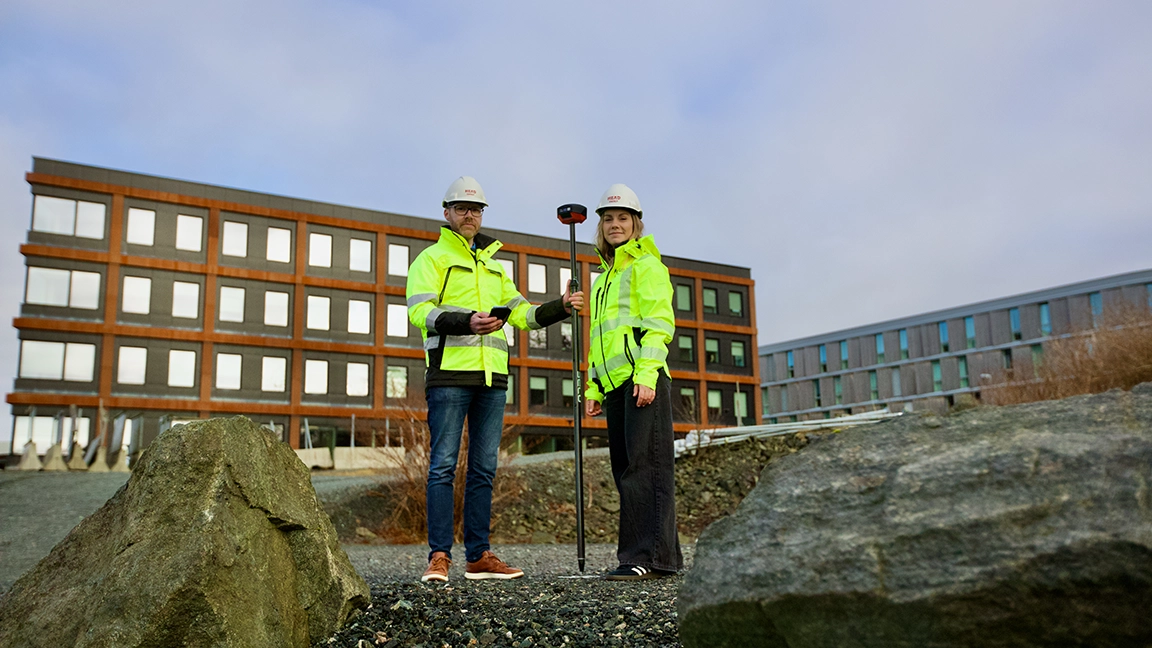
As a general rule, a site inspection must be carried out as part of a landslide hazard assessment.
The inspection provides a basis for assessing terrain conditions, vegetation, rock conditions, traces of previous landslides and other local conditions that are not always evident from the map data.
The scope of the assessment depends on the planned project, the terrain conditions and the available data.
For smaller projects classified in safety class S1, for example buildings where the consequences of a landslide are limited, it may in some cases be sufficient to carry out the assessment without a site inspection, if there is a good data basis and the terrain conditions are easy to assess.
For larger or more complex projects, a site inspection and possibly more detailed investigations will normally be required.
What happens if a landslide hazard is identified?
If the assessment shows that the site does not meet the safety requirements, it does not necessarily mean that the project has to be stopped.
Depending on the conditions, it may be relevant to:
- adjust the location of the building
- carry out protective measures
- change the terrain design
- document the safety through further analyses
Which solutions are relevant depends on the type of landslide, the terrain conditions and the scope of the project.
The important thing is therefore to clarify the actual landslide hazard and any measures that are necessary, rather than drawing conclusions from the caution map alone.
How much does a landslide hazard assessment cost?
There is no fixed price for a landslide hazard assessment, because the scope varies from project to project.
In some cases, the assessment can be carried out based on existing data and a site inspection. Other projects require more extensive analyses or detailed investigations.
To give a realistic price estimate, the consultant will normally review the project, the available data and the municipality's requirements before preparing a quote.
What should you do when the municipality requires documentation of landslide hazard?
If the municipality has required documentation of landslide hazard, the most important thing is to find out what the municipality is actually asking for and which natural hazard is to be assessed.
1. Read the municipality's letter carefully
The municipality normally describes what documentation it needs and which natural hazards are to be assessed.
2. Gather relevant information
The following documents are often useful:
- the municipality's response
- site plan
- drawings
- description of the project
- any zoning provisions
3. Contact a consultant with expertise in landslide hazard
A consultant can review the documentation and assess what the municipality is asking for, whether existing information is sufficient and what documentation must be prepared.
Clarifying this early gives the project a better basis for further planning and can reduce the risk of the need for further assessments being discovered late in the building application process.
[Facts]
How long does a landslide hazard assessment take?
There is no single answer, because the scope varies from project to project.
The time depends on, among other things:
- the size of the project
- the terrain conditions
- available documentation
- the need for a site inspection or analyses
- the municipality's requirements
The earlier the need for a landslide hazard assessment is clarified, the easier it is to account for the assessment in the project schedule.
From mapped landslide hazard to an assessment of necessary measures
A caution map alone does not necessarily answer whether it is safe to build. It is the local conditions, the planned project and the professional assessment of the landslide hazard that determine what documentation and any measures the project needs.
Head Energy Geo provides geological advice and complete landslide hazard assessments for steep terrain in accordance with NVE's guidelines.
Our specialists can assist with landslide hazard assessments, landslide modelling and landslide protection, among other things. Head Energy Geo also offers geological mapping and advice related to rock conditions, hydrogeology and groundwater, among other things.
How can Head Energy Geo help?
Within geology and landslide hazard, Head Energy Geo offers, among other things:
- landslide hazard assessments
- landslide modelling
- landslide protection
- securing of rock cuttings
- hydrogeology and groundwater
- geological mapping, including joint orientations and rock quality
- mapping and sampling for acid-forming rocks
- ground-penetrating radar for mapping loose deposits and bogs
Has the municipality asked for a landslide hazard assessment, or are you unsure whether a planned project is exposed? Contact Head Energy Geo for a professional assessment of what documentation and investigations the project needs.
Frequently asked questions about landslide hazard and landslide hazard assessments
What is a landslide hazard assessment?
A landslide hazard assessment is a professional assessment of whether a planned project has sufficient safety against landslides in steep terrain. The assessment can be based on map data, terrain models, geological data, previous landslide events, a site inspection and analyses, among other things.
When does the municipality require a landslide hazard assessment?
The municipality may ask for a landslide hazard assessment when it must be documented that a planned project has sufficient safety against natural hazards. This is often relevant if the property is located within a caution area for landslides.
Does a caution area mean there is a landslide hazard on the site?
No. A caution area shows that closer assessments may be needed. It does not mean that a landslide hazard has been documented on the property in question.
What is the difference between landslides in steep terrain and quick clay landslides?
Landslides in steep terrain include rockfall, rock slides, snow avalanches, slush flows and debris slides, among others. Area slides are linked to the ground conditions, typically marine clay and quick clay, and are assessed as a geotechnical issue.
Does a site inspection always have to be carried out?
As a general rule, a site inspection is carried out as part of a landslide hazard assessment. For some smaller projects in safety class S1, the assessment can in some cases be carried out without a site inspection if the data basis is good and the terrain conditions are easy to assess.
What happens if a landslide hazard is identified?
An identified landslide hazard does not necessarily mean that the project has to be stopped. Depending on the conditions, it may be relevant to change the location of the building, carry out protective measures, change the terrain design or document the safety through further analyses.
What does a landslide hazard assessment cost?
The cost depends on how extensive the assessment is. Some cases can be clarified with existing data and a site inspection, while others require more extensive analyses or investigations.
How long does a landslide hazard assessment take?
The time required depends on the size of the project, the terrain conditions, the available documentation, the need for a site inspection and analyses, and the requirements set by the municipality, among other things.

Kontakt oss.
Har du spørsmål eller ønsker å vite mer om våre tjenester? Vi vil gjerne høre fra deg!


Newsletters
Get the latest news from Head Energy straight to your inbox.

Mer innsikt.
When do you need geotechnical design, and why should the geotechnical engineer be involved early?